By Maureen Walczak
Mud, mud
Glorious mud
Nothing quite like it for cooling the blood
So follow me, follow
Down to the hollow
And there let us wallow in glorious mud.
— The Hippopotamus Song
Compared to the average grown-up, I spend an inordinate amount of time thinking about mud. In fact, I’m making a career out of it.
I am a research scientist who studies the history of Earth’s climate system. The ‘instrumental era,’ or period of time for which people have been making routine weather observations, only extends back to the mid-18th century. It wasn’t until after the mid-20th century, when world governments launched satellites with observational equipment and weather stations started proliferating across the continents, that scientists began developing a pretty good understanding of climate processes such as El Niño that occur every few years.
However, many features of our climate act on even larger, longer scales. Unfortunately, we can’t just turn on The Weather Channel to prepare for them. I solve this problem by turning to natural records of temperature, river discharge, and marine productivity left behind in ocean sediments. This means I have to understand not just the changes in biology and chemistry preserved in the sediments, but also how those sediments are transported and deposited on the seafloor; a complicated task in an energetic, earthquake-prone environment such as the marine margin of the Pacific Northwest.
Ocean sediments can be made of a wide variety of stuff. Some parts are organic: the remains of marine creatures, most of them tiny, that died and sank to a watery grave along with stories about the world they knew. But most marine sediments located within several hundred kilometers of a continent are comprised of eroded rock, carried to the ocean by rivers and delivered to the deep sea by waves and currents. This voyage is shaped by many different factors, but the two most important variables are: (1) the size of the sediment and (2) the speed of water flow.
Essentially, the journey comes down to how hard a particle is to move, and how much energy there is to move it. The interplay of these factors broadly results in the concentration of coarse sediments, such as cobbles and pebbles, in energetic environments like beaches and rivers, while finer sediments are swept into progressively deeper water by progressively weaker currents until, finally, even the smallest grains settle quietly into the deep.

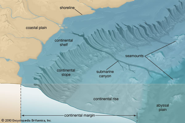
In spite of the general truth of this process, some coarse sediment does make its way from the shoreline far into the ocean, flowing across the shelf and down the continental slope following submarine channels and canyons. The intermittent movement of these underwater rivers of sediment is typically initiated externally (perhaps by a large storm or earthquake), but once the flow has begun it becomes self-exciting, which is to say the fluid slurry of sediment in a channel becomes denser than the surrounding water and is propelled down-slope by gravity, eroding and entraining more material on its journey to the abyssal plain. These flows are called turbidity currents, and the resulting deposits of coarse sediment, termed turbidites, can extend hundreds of kilometers into the ocean; watch the video below and you’ll see a small turbidite occur.
Turbidite deposits also have a tale to tell: for example, they have been used to infer the timing and frequency of major earthquakes in the Pacific Northwest. However, because they aggressively change the seafloor, they can destroy some information about the past by mixing together sediment deposited at different times while eroding other periods of time away entirely. For the kind of high-resolution reconstruction of past climate that I specialize in, turbidites typically spell trouble. And because the Washington/Oregon margin is famously tectonically active, incised by large submarine canyons and frequented by submarine landslides, few such reconstructions exist for this region of the world.
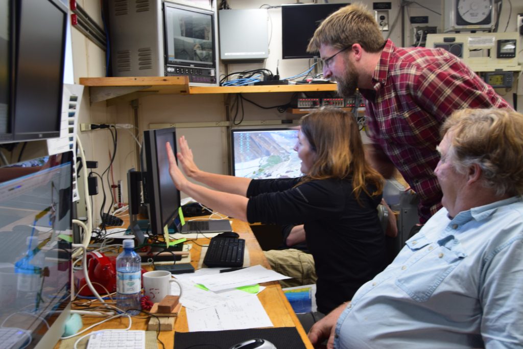
In spite of the difficulty of the task, we are now endeavoring to fill this gap in our knowledge of the climate history of the Pacific Northwest. Working with other experienced scientists at Oregon State University, fellow Early Career Scientist (ECS) Training Cruise participant Brendan Reilly and I carefully selected coring sites on the continental slope adjacent to the Columbia River that might contain records of past climate undisturbed by turbidity flows. As ECS project PI and professor Mitch Lyle put it, we “thought like a sediment particle,” tracing the channels and canyons of the slope on detailed maps of the seafloor while imagining where we might find quiet backwaters with continuous, undisturbed deposits.
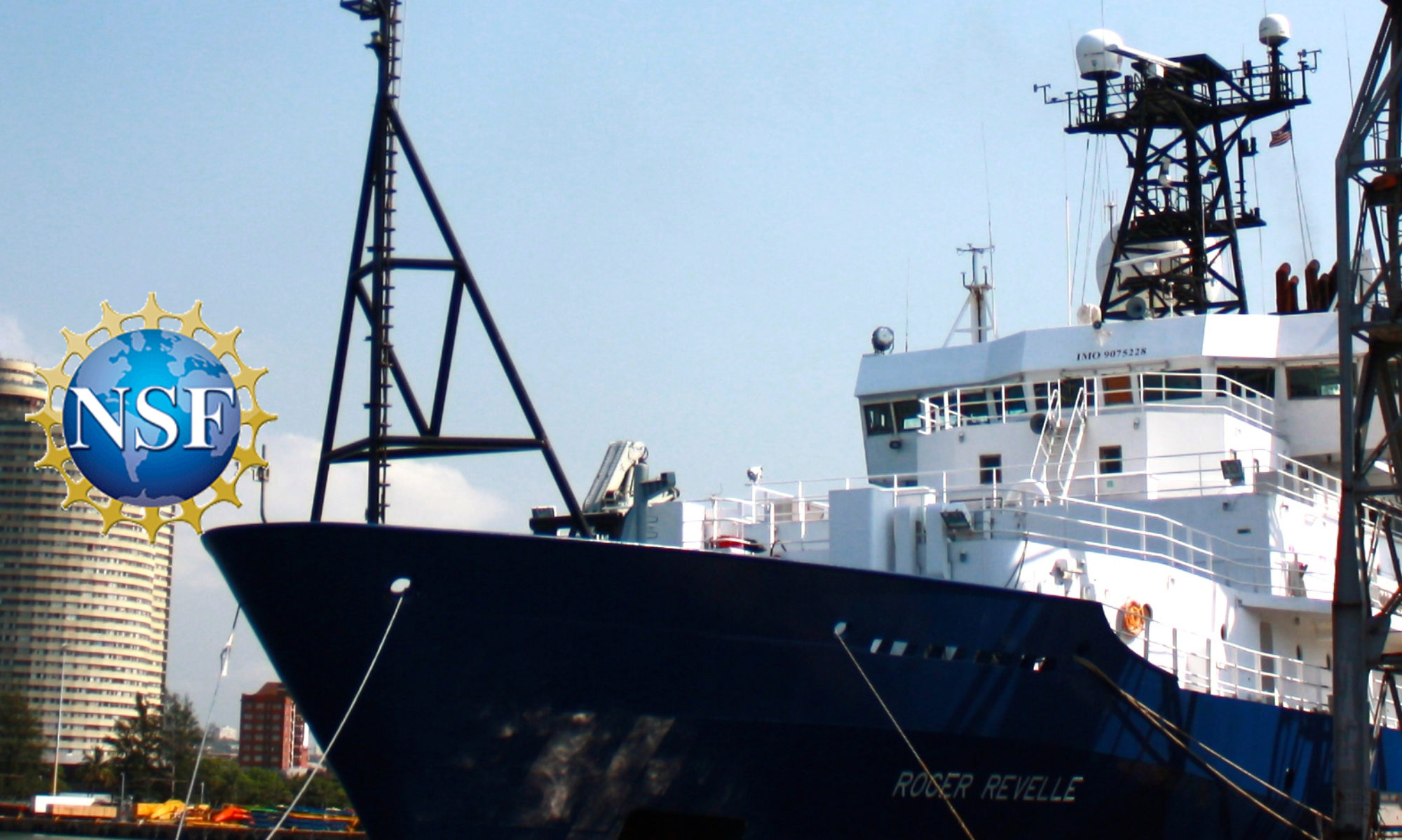
We visited and successfully collected sediment cores from our favorite sites in June 2017 from the R/V Oceanus, state-funded cruise OC1706B, and will use these records to reconstruct the climate history of the margin back to the end of the last ice age ~20,000 years ago. During the National Science Foundation-funded ECS on the R/V Revelle, RR1718, we collected deeper images of these thick sediment layers, identifying ideal places to recover even longer records that could extend our understanding of climate variability on the margin back hundreds of thousands of years. To say we’re excited is an understatement.

Because instrumental records of regional climate are so short, policy makers are at present ill-equipped to make management decisions that encompass the range of possible environmental conditions in coming decades and centuries. The Columbia River currently supports 14 hydroelectric dams, producing close to half of the hydropower available to the entire United States. The river also supports many hundreds of thousands of acres under agriculture in the arid eastern parts of Washington and Oregon and a salmon fishery with an annual value of over 100 million dollars. As the population in this region grows, with seven million people and counting living in the drainage basin of the Columbia, the pressure on climate-sensitive natural resources such as water is only expected to increase. Fortunately, the progress we are making in identifying long-term natural repositories of regional climate history will help us responsibly prepare for the future.
So the next time you stand on the seashore, wiggling your toes in the sand and staring at the waves, perhaps spare a thought for the sediment particles bumbling their way into the deep with their secrets. I certainly do.
— Maureen Walczak is a postdoc at Oregon State University
