By Subbarao Yelisetti
In the last ten years, earthquakes around the Pacific Ocean have caused a lot of damage and destruction in places like New Zealand, Japan, and Chile. These ring alarm bells for people living on the west coast of the U.S. and Canada, which is also due for a large earthquake. The Cascadia Subduction Zone, where the Pacific plate slides beneath the North American plate, runs from southern British Columbia to northern California. The last major earthquake on the Cascadia margin occurred in January 1700. The plates are currently locked —not sliding — and the stress has been building up since then, with occasional small earthquakes releasing some of this stress. In general, the interval between major earthquakes is about 300-700 years. We are currently in that time period, which means another large earthquake could occur anytime. The longer it takes, the bigger the earthquake could be, because there’s more time for the stress build up.
When a major earthquake occurs, it can trigger massive landslides and subsequent tsunami, and the one in the northwest U.S. is expected to cause greater damage to coastal populations and infrastructure; most of the current building codes on the west coast are not capable of withstanding a major earthquake. This situation requires scientists to investigate more data and look into evidence to better understand where the faults are located in the subsurface, their orientation, and exactly how the stress is building up. The best way to get this information is through marine seismic studies, as they are the least expensive and provide more accurate information compared to other geophysical methods such as gravity and magnetics surveys or drilling into the seafloor. Plus, the existing land-based seismic studies are not enough to understand what is going on offshore. We need more marine studies to better understand the subsurface structure offshore.
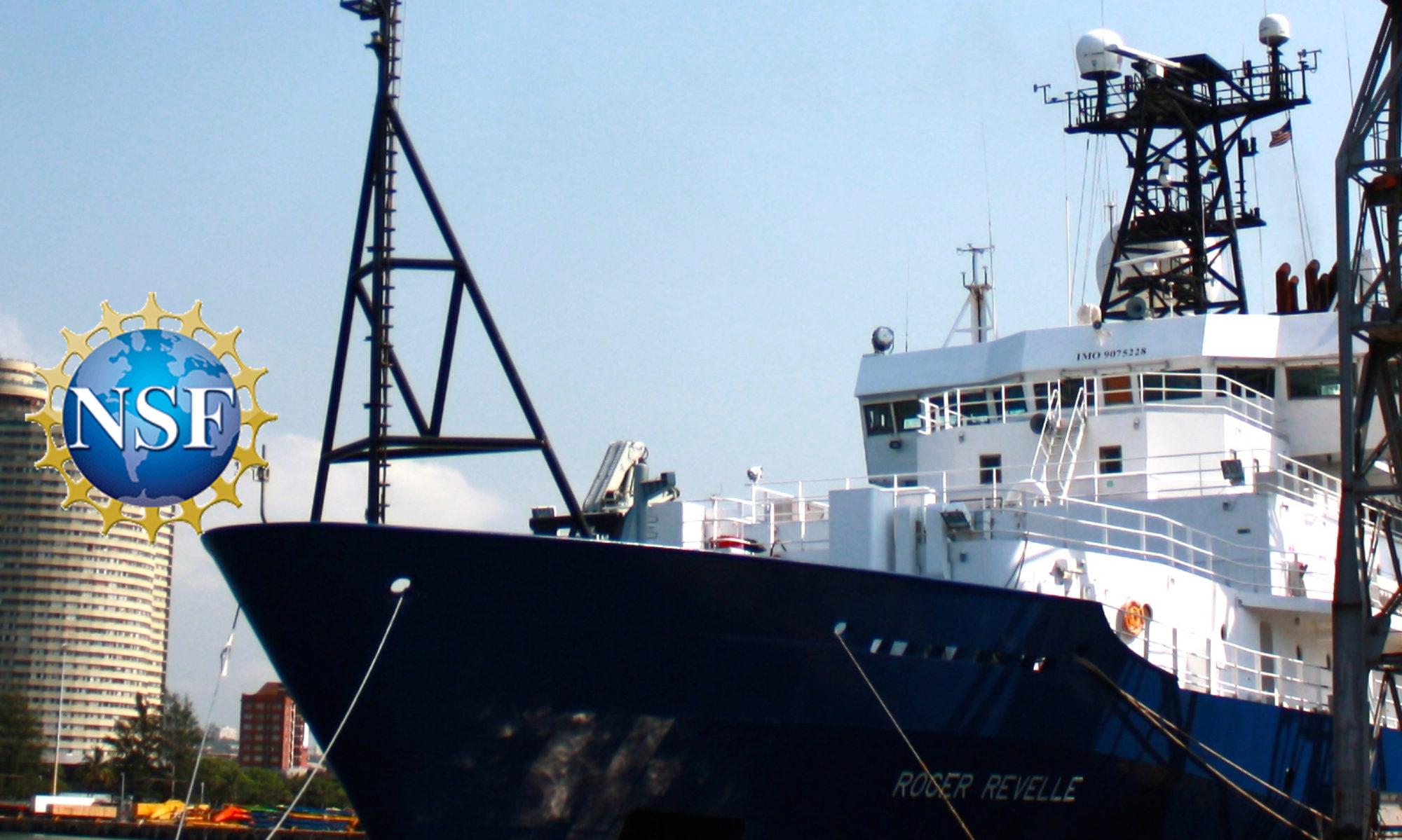
As part of our seven-day Early Career Scientist Seismic Training Cruise on the R/V Revelle, we are collecting seismic data by creating acoustic sound pressure waves that travel through the water and beneath the seafloor. We then record the reflected wave energy using hydrophones towed in the water column behind the ship. The recorded data is processed to create the subsurface image. This is similar to taking an image of the body by passing x-rays through it.
These images show faults beneath the subsurface, fluid seeps, and underwater mountains, which give us clue about subsurface dynamics along the Cascadia Subduction Zone, which is critical to understand natural hazards on the West Coast. Therefore, this research expedition has great societal significance apart from training the early career scientists — and more such cruises will benefit the society immensely.
— Subbarao Yelisetti is an Assistant Professor of Geophysics at Texas A&M University-Kingsville