By Alexis Wright
Most people have seen the damage landslides can cause in areas of steeply dipping terrain, but are probably less familiar with what happens when landslides occur underwater. These events, known as submarine landslides, rapidly move large volumes of sand and mud down sea slopes, causing water to rush to fill the eroded space. This sudden movement can create a tsunami at the sea surface that poses a hazard to nearby coasts and the people who live on them. Offshore, the sliding sediment can directly damage infrastructure on the ocean bottom like cables, pipelines, or drilling platforms.
To mitigate these potential hazards, we need to be able to predict where and when and to what extent submarine landslides will occur. My research aims to answer these questions by investigating the ground beneath a landslide. I then interpret what processes, like faulting or folding of the subsurface, pressurized fluids trapped in buried pore spaces, or loosely packed sediments along steep gradients, lead to instability of a given underwater slope. With an understanding of how these factors contribute to destabilizing the seafloor, I can look for similar patterns beneath intact slopes to identify where future failures may occur.
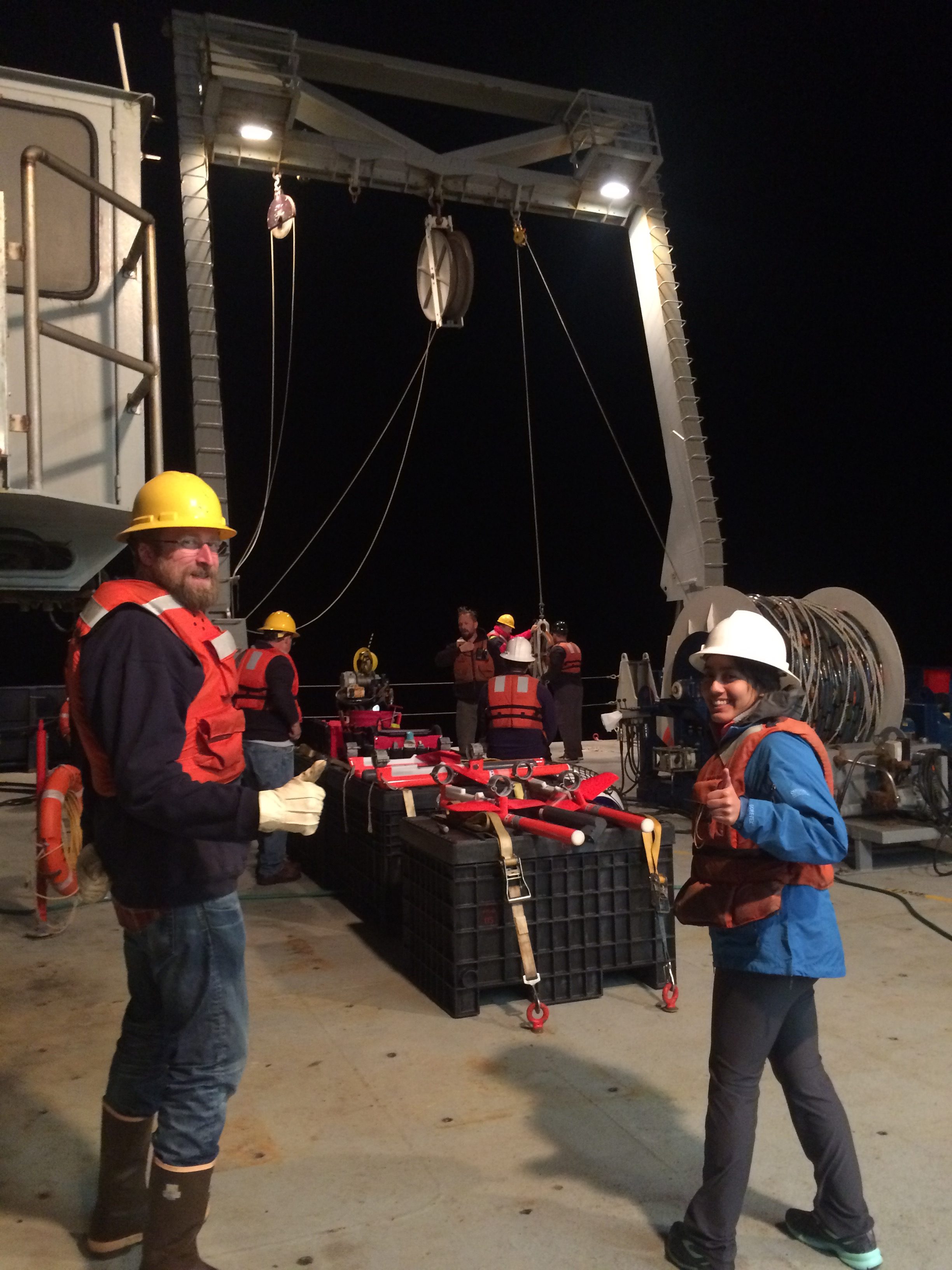
None of this work is possible without data. But how do myself and other scientists study a process that happens under hundreds of meters of water? We rely on seismic reflection data, which uses acoustic sources towed behind a research ship to produce sound waves that travel into the ground and get reflected back by layers in the subsurface. The reflected waves are recorded by a cable containing hydrophones (underwater microphones) towed behind the sound sources, which enable us to generate an image of the geology beneath the seafloor.
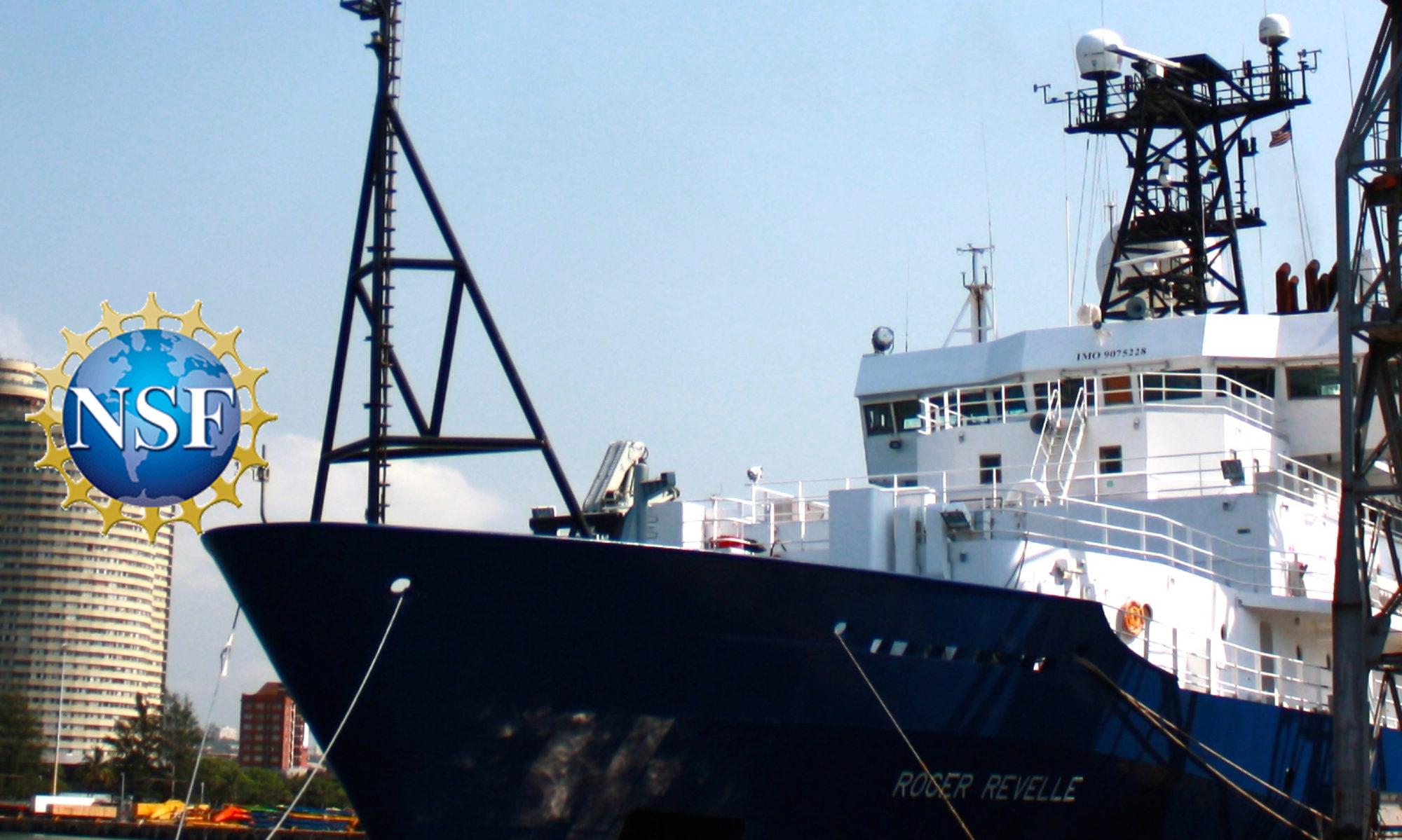
I am currently aboard the R/V Roger Revelle, a ship belonging to the University-National Oceanographic Laboratory System (UNOLS) academic research fleet, to collect these data. My research target is a submarine landslide off the coast of Oregon, called the Heceta landslide; I want to find out why and how this large submarine landslide has occurred. On this National Science Foundation-funded Early Career Seismic Chief Scientist Training expedition, 19 principal investigators (PIs) have taken their studies out to sea for a week of 24-hour operations.
No matter the advance preparations taken by everyone onboard, the seas always present new challenges. For example, collecting data requires the use of delicate electrical equipment, something that does not pair well with harsh conditions and corrosive salt water, which makes equipment malfunctions not uncommon. This expedition was no exception: We ran into problems with one of the acoustic sources not functioning properly, leaving us to troubleshoot the issue at sea so we could resume collecting data. Minor setbacks like these are expected and the science team has planned accordingly and come up with alternate data acquisition plans to maximize our time on the Revelle. Thanks to the hard work of the ship’s crew, operations were quickly up and running again!
At the end of this valuable training opportunity, I will return to land with data for my current studies. My experience in leading, adjusting ship plans, and processing incoming data gained during this expedition has made me feel that the process of collecting data at sea is much accessible than before. Motivated by the data collected on this expedition and the understanding of what goes into developing a field program, collaborative efforts between participants with complimentary research targets are beginning to evolve. Thanks to funding from the National Science Foundation and the availability of the UNOLS academic research fleet, up and coming scientists — like myself — have gained real-world professional training at sea alongside seasoned researchers and can carry on the future of marine geophysical research.
— Alexis Wright is a graduate student at USGS/Colorado School of Mines