By John Schmelz
Today is our sixth day at sea, and the opportunity to come out on the R/V Revelle to collect seismic data has been a productive experience. Before this expedition, I had not observed or participated in the collection of marine multichannel seismic data, a data source that I rely on heavily for my research. This experience has been a supplement to my skillset that no amount of time in the classroom could provide. Contributing to the collection of data has offered an invaluable perspective on the tools and techniques that go into producing coherent images of the sedimentary structures below the seafloor, and a better grasp of what these tools do can help me use the end products sensibly. All of this helps me to be a better scientist. As a result, I can better serve the larger community through my work.
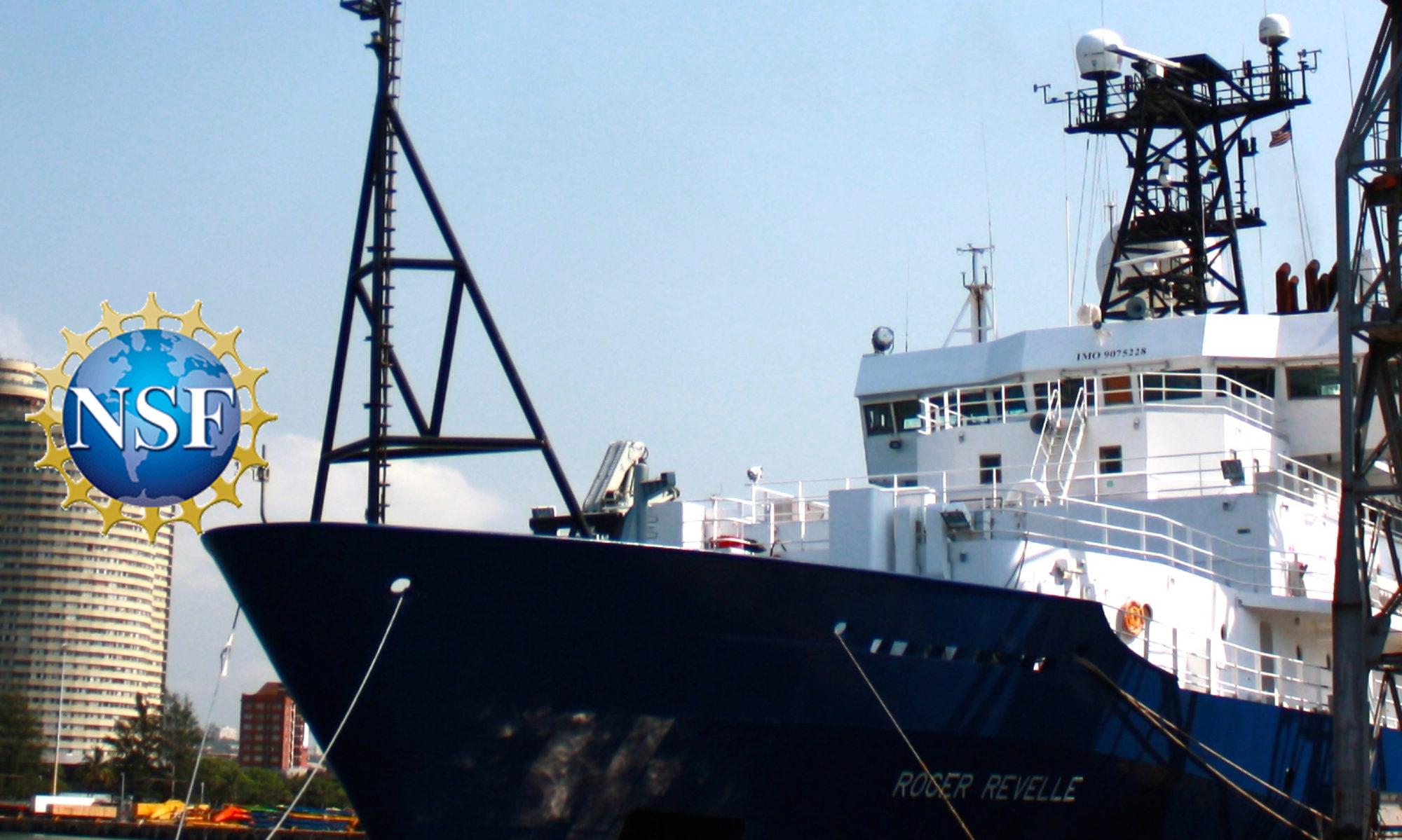
This expedition has also been an avenue for me to take ownership in developing research, from the conception of a proposed research plan to collaboratively “steering” the ship. As a third-year Ph.D. student, setting the ship tracks for the R/V Revelle is a rare opportunity. Together with my 18 colleagues participating as early career scientists, we collaborated before the ship set sail to carefully craft waypoints for the ship’s transit around the margin. The planned seismic profile lines were painstakingly set to effectively and efficiently cover our individually proposed scientific objectives. A faulty compressor for the acoustic source dismantled our original plan on day two of the expedition, wasting hours of our precious seven days at sea and forcing cuts to our original track lines.
While the setback was frustrating, there are also great opportunities when collecting data with the ability to adjust plans in real-time. For example, we were able to use information from data processed as the ship was underway to cut out portions of the planned ship track and replace them with shorter segments that would better serve our overall scientific objective. It has been quite an experience to be out here on the Revelle, digesting the major structural elements of a never-before-seen deep-sea fan with my colleagues planning how to better survey it on our next pass through the area. Having this experience will serve me well in other initiatives.
We have been collecting great data over the deep-sea Astoria Fan, the offshore “fan” of sediment and mud created by the Columbia River discharge, and my research interest here on the Cascadian margin. These data might help us understand the processes that create the beautifully complex sedimentary structures found on this convergent continental margin. While it is fascinating in its own right, piecing together how and when the sediments were deposited from this record might also provide some valuable insights that could inform us about the recurrence intervals of major earthquakes on this margin and help us to assess the risks tied to associated geohazards.
The seismic images we collected of this kilometers thick wedge of deep-sea sediment are striking. The Astoria fan had never been imaged by a seismic array like the Scripps Portable Seismic System on the Revelle. The data collected so far has clearly imaged vertically stacked paleo-fan channels, levees, and debris flows. These sediments that make up the modern fan have likely been deposited in the last 760,000 years, through a few cycles of glacial and interglacial periods.
As we plan to look into the finer details of the collected data, it will be interesting to see whether there are patterns of deposition that are repeated through time. These patterns, or sequences of deposition, might hint at whether or not there is a glacial-interglacial pacing to the type of sediment deposited on the Astoria fan. This would support a process of transporting sediment from the Columbia River to the abyssal Astoria fan that depends on changes in sea level. Documenting indications of tectonic activity, such as mass flow deposits and deformational features, and variations in their occurrence through time will also be a focus of the data analysis.
While the initiative is exciting, we probably cannot resolve the entire history of sedimentation with the relatively small amount of seismic data collected here, but the information might guide future research towards testing hypotheses our data support. And this effort in this region is more important than just further improving scientific knowledge, the results could have real-world implications for the residents, administrators, planners, and other stakeholders in communities in coastal Oregon.
This R/V Revelle expedition, that couples the training of 19 aspiring scientists with the collection of seismic data in an area with a data gap and a pressing need for information on earth processes, seems to be a powerful use of ship time. Thank you to Masako, Mitch, Anne, and Greg for putting this together and to NSF and UNOLS for supporting the effort.
— John Schmelz is a Ph.D. student at Rutgers University