By Brandi Lenz
I am a first year Ph.D. student in the School of Earth Sciences at THE Ohio State University under the supervision of Dr. Derek Sawyer. I study marine geohazards, such as submarine landslides. I have worked with high-resolution marine two-dimensional and three-dimensional seismic data from my undergraduate research projects and completed a reflection seismology course. However, I have not had the opportunity to participate in marine acquisition and processing. It is important that I gain this experience early in my career so that I have a better understanding of the data I will be working with and will be able to teach others on how it is acquired, processed, and interpreted.
Our study area for this expedition is the Cascadia Margin, and we are collecting data on it offshore Oregon. The area is tectonically active and at risk for many geohazards such as earthquakes, tsunamis, and submarine landslides. It is the perfect place for me to study submarine landslides on an active margin. Submarine landslides are similar to landslides that occur on land, but they occur underwater and are often much larger.
Scientists have noted that there seems to be an absence of slope failures or submarine landslides in the Astoria fan region, which is the northern portion of our study area. I think this is because only the bathymetry, or changes in the depth of the seafloor, has been measured and studied in detail, and there are not a lot of existing seismic profiles that go through the region. This means the data is probably biased to slides with distinct head scarps, the steep section of the slope from where a landslide begins to fail, and more recent events. Collecting seismic profiles is essential if we want to understand the history and frequency of these events. Seismic profiles allow us to “image” below the sea floor and will help us see older events.
The Astoria Fan has higher sedimentation rates than elsewhere along the margin. It consists of mostly clay and silty-clay sediments. Large landslides usually occur in areas of weaker fine-grained sediment and have the potential to create or enhance tsunami events. My hypothesis is that landslides will be less frequent outside the fan due to a lower sedimentation rate, which allows seismic strengthening to occur. Seismic strengthening can increase the shear strength of sediments by exposing them to low-magnitude earthquakes. This causes the sediments to become stronger or more consolidated over time, and therefore less susceptible to submarine landslides.
It is a delicate balance though. Earthquakes are also considered to be one of the main triggers for these underwater landslides. Seismically strengthened sediments can still fail, but it’s more than likely this would require a higher magnitude earthquake. Seismically strengthened sediments probably have a different style of failure. They likely fail in a more blocky cohesive way, which is important to understand because they could have the potential to create tsunamis. Other scientists have already identified and characterized several submarine landslides on the Cascadia Margin, especially the southern portion of our study area. It includes a known, large-scale slope failure, the Heceta slide, which is believed to have produced a large tsunami.

Once seismic profiles are acquired inside and outside the fan, we can identify submarine landslides in the subsurface to get an idea on how frequent these events actually are. Seismic strengthening has not thoroughly been explored with seismic data yet, so I am excited to see what we can learn from it. Also, we are going to have a few seismic profiles of the Heceta slide and a nearby slump feature. I am hoping these profiles will help us better understand this large catastrophic slide and the mechanisms associated with its failure.
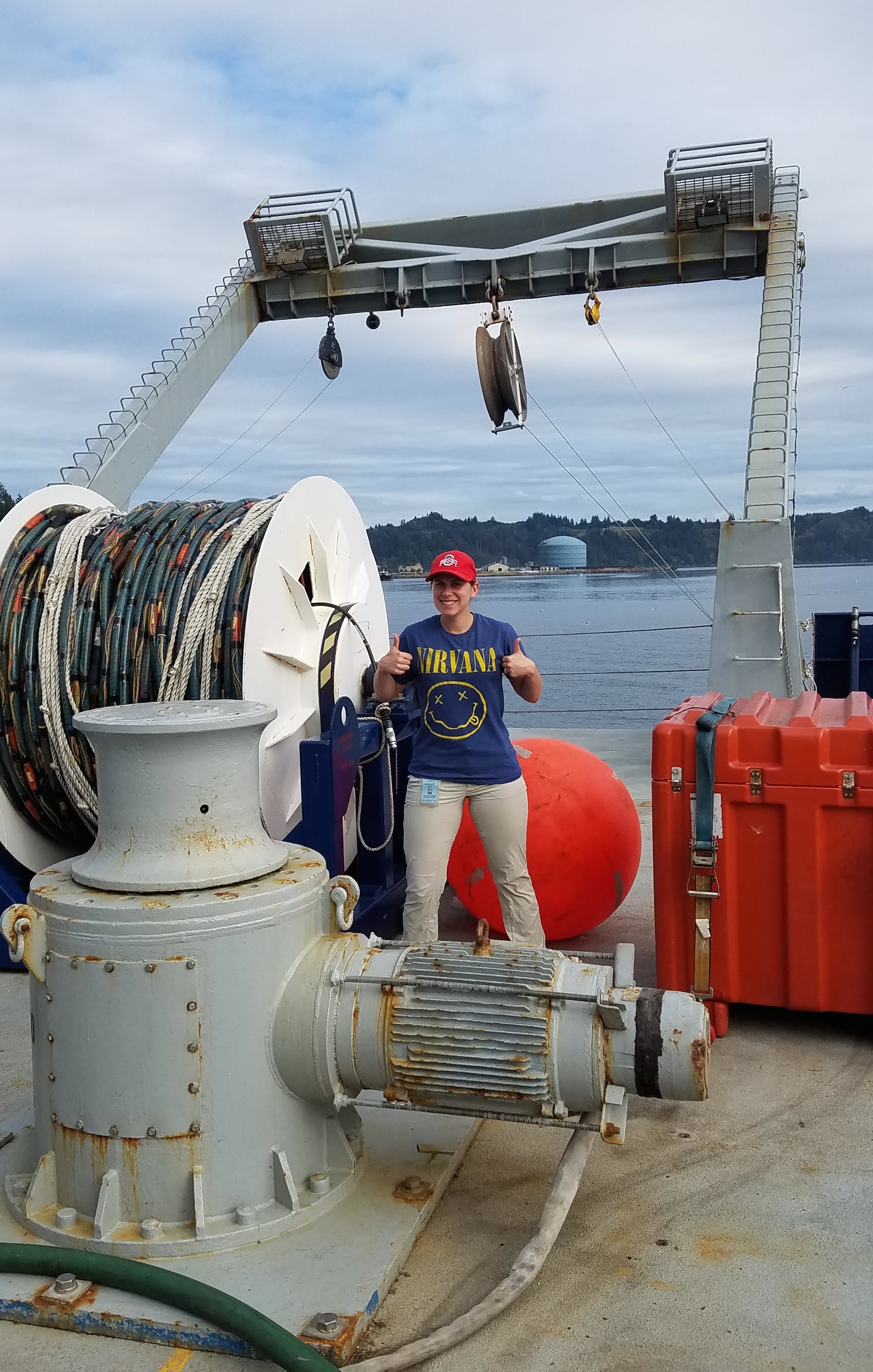
This research opportunity has benefited me greatly and will help advance my developing career as a scientist and educator. The expedition has given me valuable experience that will assist me with my continuing research in marine geohazards and provide me with interesting data I can use in my dissertation. This whole expedition has been life changing, especially since I have lived in land-locked areas my whole life and never spent any time out at sea. I finally know what it’s like to be on a research vessel (and get seasick!), acquire and process seismic data, and collaborate with other scientists with different backgrounds and point of views. If I had to describe this seismic training cruise in one word it would be “AMAZING!”
— Brandi Lenz is a Ph.D. student at The Ohio State University