By John DeSanto
So there’s this movie Hollywood came out with a few years back called “San Andreas.” The latest in a proud tradition of dumb, “bad science” summer disaster flicks, I find this movie absolutely fascinating because it is a film about a giant earthquake that gets a fair bit wrong about giant earthquakes.
Take the tsunami, for instance. While it is awesome to see San Francisco leveled by an unstoppable 150-foot wall of water, it is also unlikely to happen because (a) tsunami-causing earthquakes happen near the tsunamis they cause, and (b) the San Andreas fault is many miles inland in the middle of a desert. Also, an earthquake on the San Andreas fault would be very serious, but not nearly as powerful as depicted in the film. It’s too bad, too, because there is a major city in the lower 48 states that is at risk of suffering an earthquake and tsunami as large as, say, the pair that hit Japan back in 2011. It’s not San Francisco or L.A. It’s Seattle.
See, there are these rocks around Seattle that could only have ended up where they are if they were washed ashore by a tsunami, and a big one at that. Although there were likely indigenous people living in the region when the tsunami (and earthquake that presumably caused it) happened, they had no written language, so that disaster and its impact on them were not recorded in the annals of history. For scientists who are concerned with understanding the risk of a large earthquake and/or tsunami happening in Oregon and Washington State, this is pretty frustrating because it tells us that a major earthquake and tsunami must have happened and probably could happen again, but any further details are a little difficult to come by.
How do we go about figuring out where and what could happen? Well, the earthquake we’re worried about caused a tsunami, so it will probably happen offshore. But it also turns out that not all earthquakes cause tsunamis, they need to either be very shallow under the seafloor or near underwater cliffs that can break in landslides. This means that if we had a map of the seafloor we could identify the “problem areas” offshore that could cause a tsunami if an earthquake happened there.
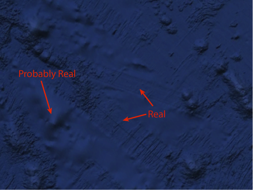
Hey, we do have a map of the seafloor! I’ll just pull out my phone, open up Google Earth and… oh. There are a lot of strange tracks on the seafloor, and they are really detailed. It turns out these tracks are actually real. They are places a ship went to and directly measured the seafloor depth using an instrument called a multibeam sonar, which uses peculiar sounds (called “chirps” because they sound like a bird chirping… every 10 seconds, nonstop, 24/7) to take a picture of the seafloor beneath the ship. The parts of the seafloor that look very smooth are actually our best guess of what the seafloor looks like based on satellite data. But because the satellite data is not as detailed as the multibeam data we think of it as a “hole” in the seafloor map.
Simply put, if we want to figure out where a tsunami could come from, we need to go out on a ship and collect more multibeam data!

While surveying the seafloor, we may also collect seismic data to help us identify which “problem areas” of the seafloor have a nearby fault that can cause a large earthquake. All of a sudden, we would have a much better picture of where large earthquakes and tsunamis could come from and how large they could be.
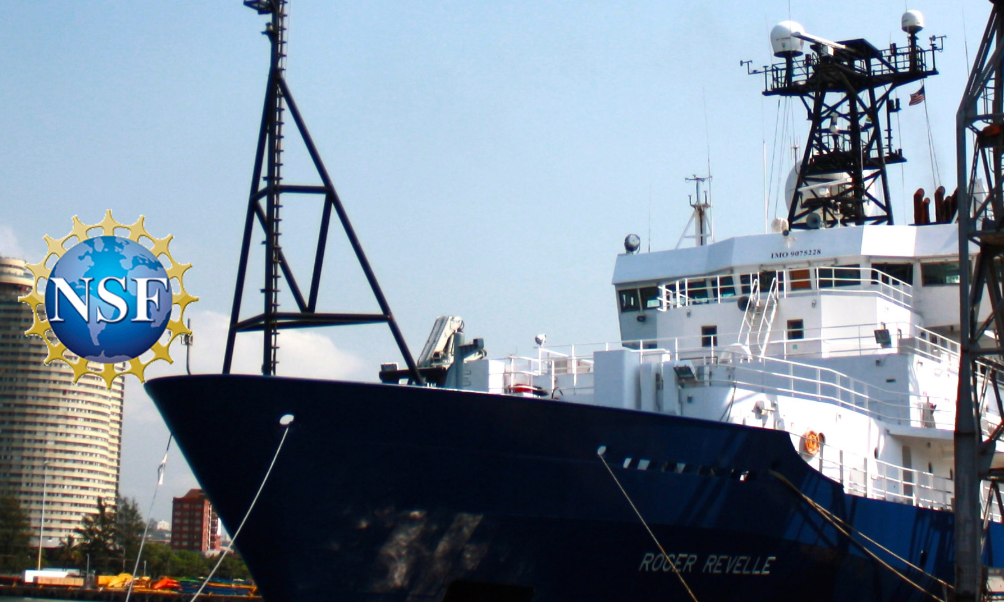
So here I am out at sea, one of a large group of rugged scientists (almost like in the movies), collecting the multibeam data we need for our map of the seafloor and the seismic data we need to find the faults that could produce a large earthquake. The ocean is pretty vast; this survey will literally be a drop in the bucket. However, every little bit of data helps us present a clearer picture of the earthquake and tsunami risk faced by the residents of Oregon and Washington State. This information is incredibly valuable because it will help us to prepare for the worst-case scenario, saving lives and property in the future.
Perhaps the most disappointing thing about disaster flicks is that there is often evidence a disaster will happen, but no one seems to take it seriously. In reality, this could not be further from the truth. Although the evidence for a large earthquake and tsunami striking Oregon and Washington is subtle, it is certainly real. We’re treating that evidence very seriously so we are not caught off guard in the future.
— John DeSanto is a P.h.D student at Scripps Institution of Oceanography
