By Brendan Reilly
Greetings from the Oregon Margin. This isn’t my first time here. In June 2017, I sailed on another expedition, Oceanus cruise 1706B, organized by fellow Early Career Scientist (ECS) Seismic Cruise participant Mo Walczak, to collect sediment cores, which have layers of sediment, or mud, that have accumulated on the seafloor. The cores we were after on that expedition would contain an environmental history of the Columbia River watershed going back over ten thousand years.
We recovered around 5-10 meters of mud from a number of locations. Each layer in these sediment cores represents a period of time slightly older than the layer above it and records information about the environmental conditions of that time. Reconstructing these conditions will build on our understanding of the relationship between Pacific Northwest water resources, ecosystems, and environment and Earth’s climate during times warmer and cooler than present.
As on this current expedition, the researchers in the Oceanus science party were almost entirely early career scientists, including three Research Experience for Undergraduates (REU) students, one undergraduate who missed her graduation ceremony to participate, seven graduate students, and two post-docs. In the months since returning with those cores, the REU students have studied the microfossils, physical properties, and geochemistry of these sediments. These preliminary data indicate that many of the basins we cored contain high resolution records of Columbia River discharge and past oceanographic conditions of the Oregon Margin.
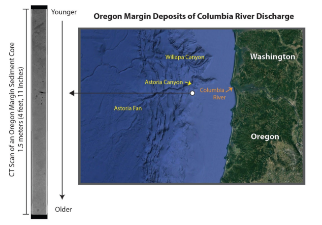
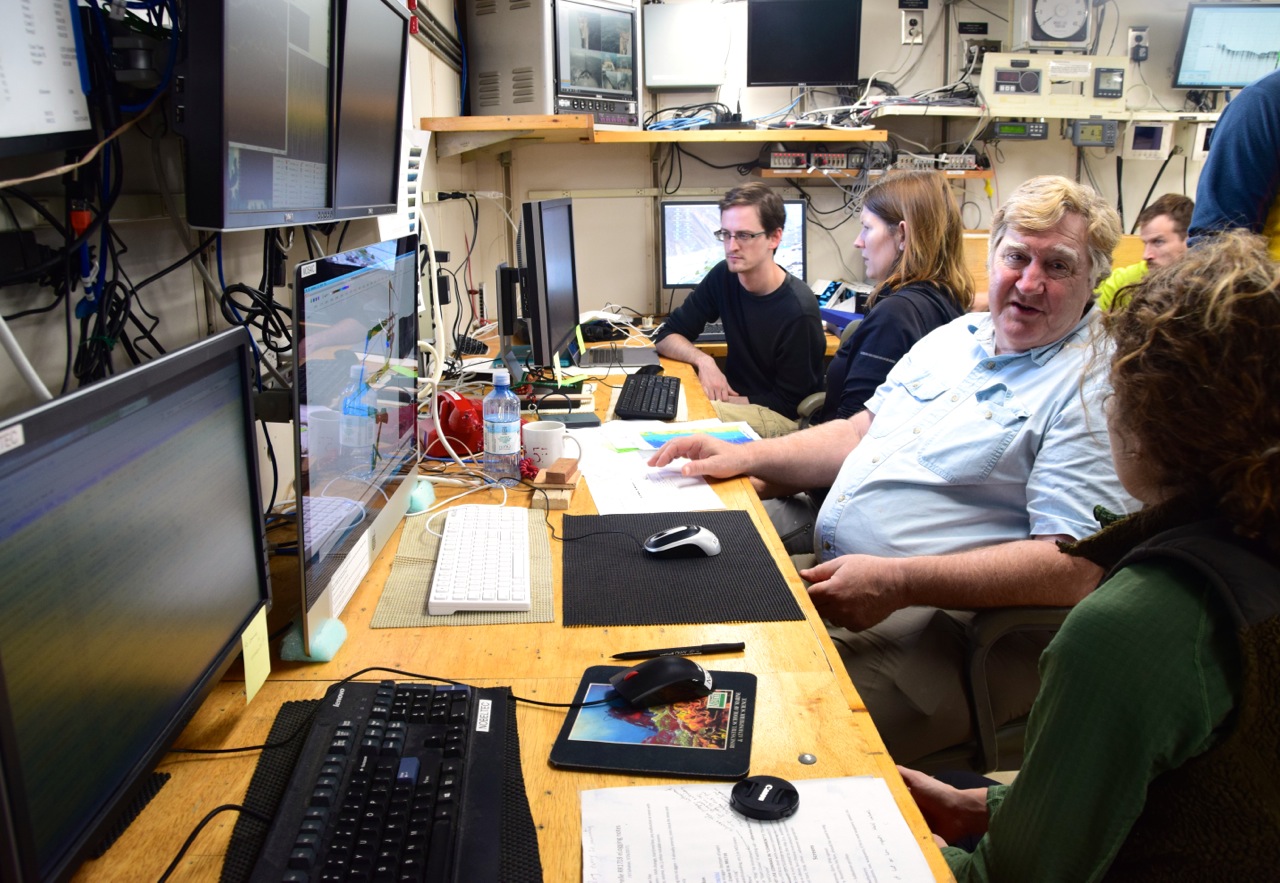
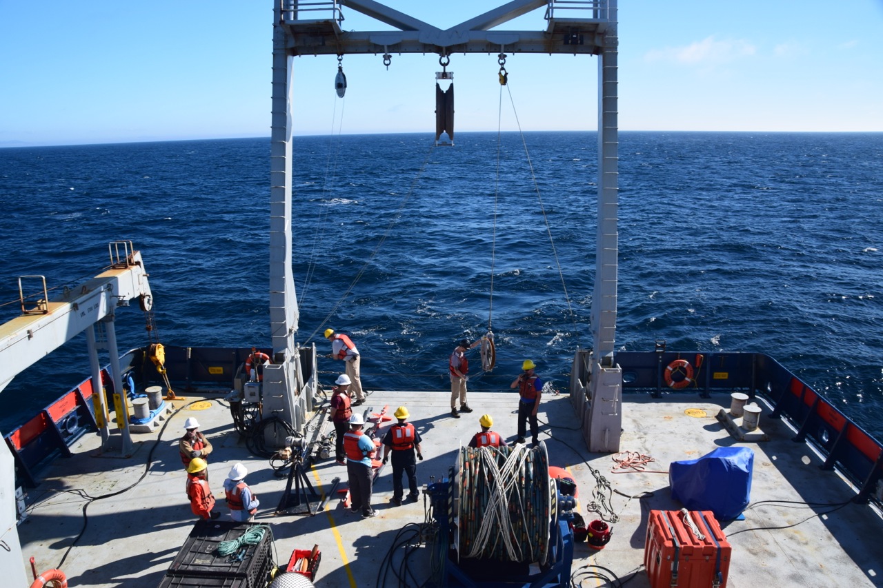
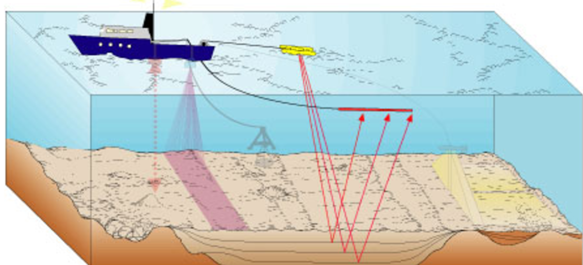
We used these initial data to target the most promising sites for survey with the Scripps Multi-Channel Seismic (MCS) system during the ECS Seismic Cruise. Our initial results suggest that these basins contain hundreds of meters of sediments, potentially extending back millions of years. This is significantly deeper than the subbottom profiles we were able to image with the ‘chirp’ subbottom imaging system we used previously. The chirp uses a higher frequency sound wave than the MCS system we are using during ECS Seismic Cruise. This allows for a higher resolution image of the upper tens of meters, but it cannot penetrate as deep as the lower frequency MCS system.
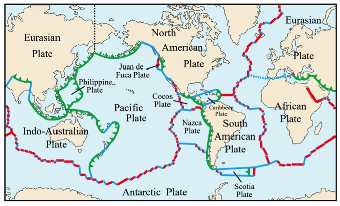
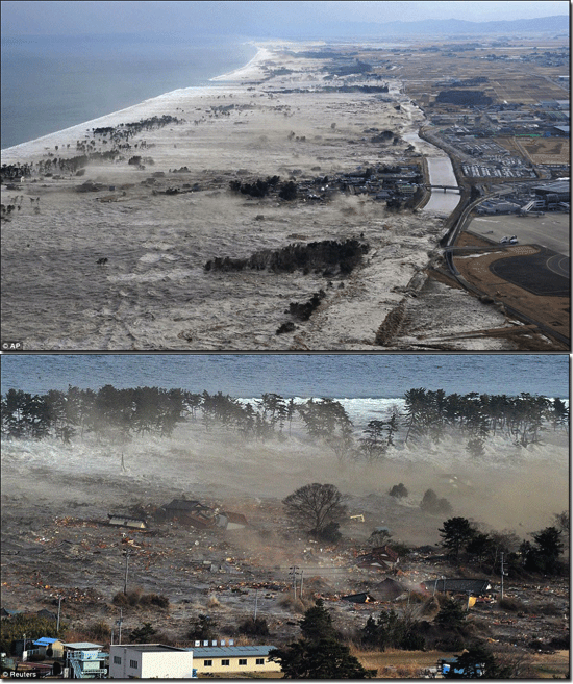
A challenge we’ve encountered is finding sites with high accumulation rates of mud, without much influence by erosive turbidity currents, or flows of sediment that travel downslope on the seafloor. Their deposits, turbidites, have been useful in investigating the earthquake history of the Pacific Northwest, but can complicate interpretation of sediments for environmental history. Careful survey, like we did in June 2017 and are doing during the ECS seismic cruise will help identify the perfect sites for further work.
We have learned a lot so far about the nature of the deeper Oregon Margin sedimentary deposits from the ECS Seismic Cruise and have started discussing our plans for the next steps to investigate them further. A rewarding aspect of the cruise has been developing new research questions that could be addressed collaboratively with my fellow ECS participants in the future. While this project is a large undertaking, ultimately, what we learn will contribute to our understanding of how the Pacific Northwest has changed in the past and how that information can be used to plan for changes that may happen in the future.
— Brendan Reilly is a Ph.D. student at Oregon State University